
On 14th May 2025, twenty-seven intrepid Coventry Society member braved the wild conditions of the Charterhouse Heritage Park to see for themselves what is planned for the area.
Guided by Gareth Morgan of the John Muir Trust and Charlotte Stranks, the Council’s Conservation Officer, we walked around the more accessible parts of the Heritage Park in glorious sunshine.
We fought our way through thick vegetation and were told about ambitious plans for 3km of new paths around the park. These will all be three metres wide and usable by both walkers and cyclists. But they will not be tarmacked or lit, in order to retain the rural nature of the area.
There will be routes both sides of the river and connecting to the Avoiding Loop Line, giving a choice of circular walks or rides. In the longer term it is also proposed to create a river-side walk along the River Sherbourne from Gulson Road, parallel to Harper Road, to make the park more accessible from the city centre.
A lot of effort is to be put into opening up new accesses to the site, with new bridges and improved access routes. An old gateway in the listed monastery wall is to be opened up to create a more direct pedestrian route into the area.
There are plans to restore one of the historical sluices on the river. These were installed during the War to store water for use in fighting fires in the city centre. There are plans to restore and open up one of these and the buttresses of a second are to be used as the base for a new river crossing.
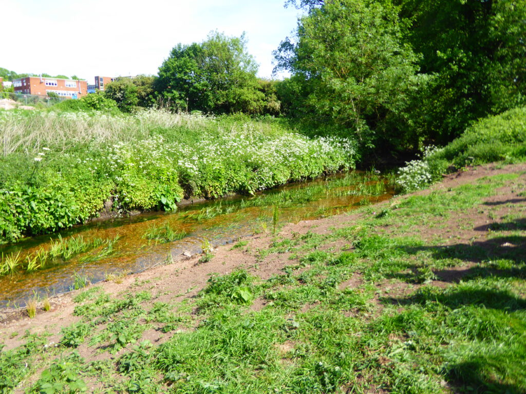
The river has been straightened in past centuries to speed its flow. Warwickshire Wildlife Trust is now working on making the river more sinuous as part of the Sherbourne Valley Project.
We were shown an area where the banks had been re-profiled and in channel obstacles had been created to slow the river and make it more winding in its channel. A gravel river bed has been re-created, to encourage fish to spawn.
Gareth told us that the river is surprisingly clean for an urban river. The presence of kingfishers and grey wagtails demonstrates this. There have also been reports of visiting eels and otters. We were told that Warwickshire Wildlife Trust have the ambition to return trout to the river.
However, there have been a few pollution incidents and there are plans to install a rubbish “filter” to catch the rubbish in the river where it enters the area.
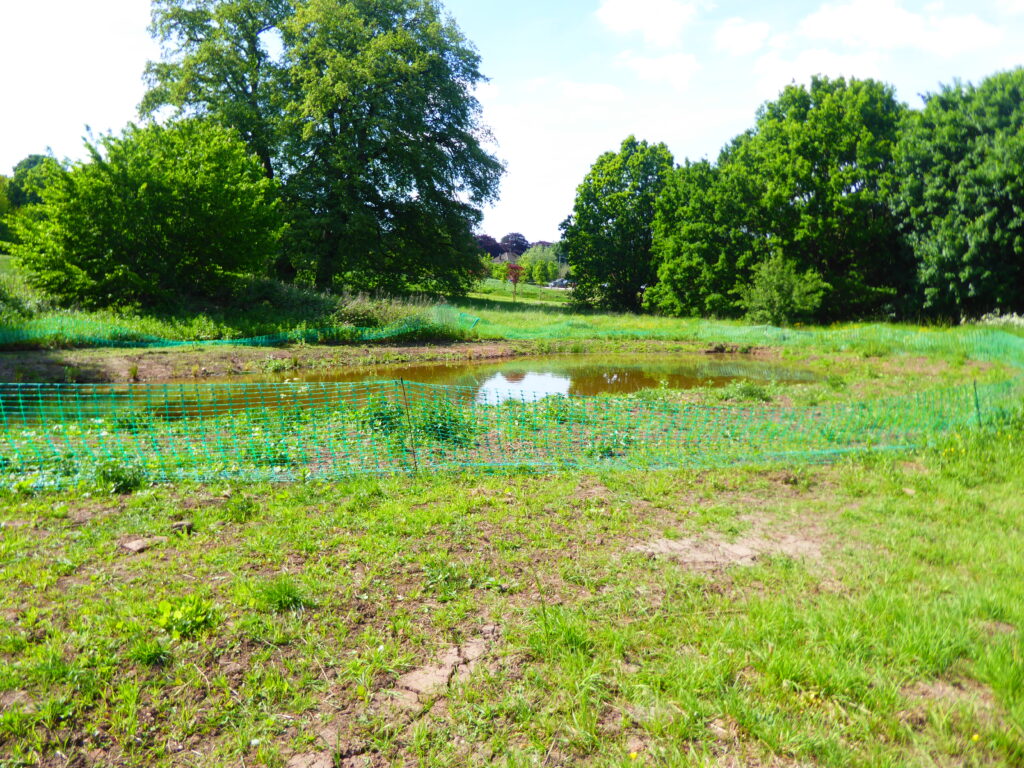
A new pond has been created close to the river. It is designed so that at times of flooding the pond will be re-filled. It is already becoming the home of newts.
We were shown an area which has been taken over by the invasive Bohemian Knotweed. This is being tackled using biological control methods. A small insect from Japan called psyllid is being used in one of only two trials in this country. There have been two releases of the insect and it is hoped that by next year the strength of the weed will have been reduced to a level where native species can again thrive.
At the heart of the park is the Grade II listed Robert Stephenson viaduct, built in 1838 and said to be the first of its kind. Listed status was granted in 2015 following an application by Ian Harrabin.
There are plans to move some of the fences to allow easier walking through the viaduct and to open up views of the viaduct. The Railway Heritage Trust will be funding some of this work.
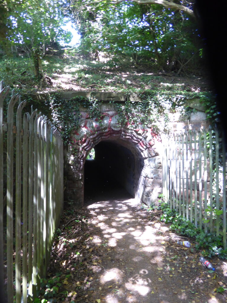
We walked through the listed tunnel under the railway line with its beautiful, medieval inspired, entrance arches. Nearby we were shown four historic trees that had been relocated when the Sherbourne Recycling Centre was built. A goat willow seems to be thriving and two ancient apple trees seem to be recovering, but one has died.
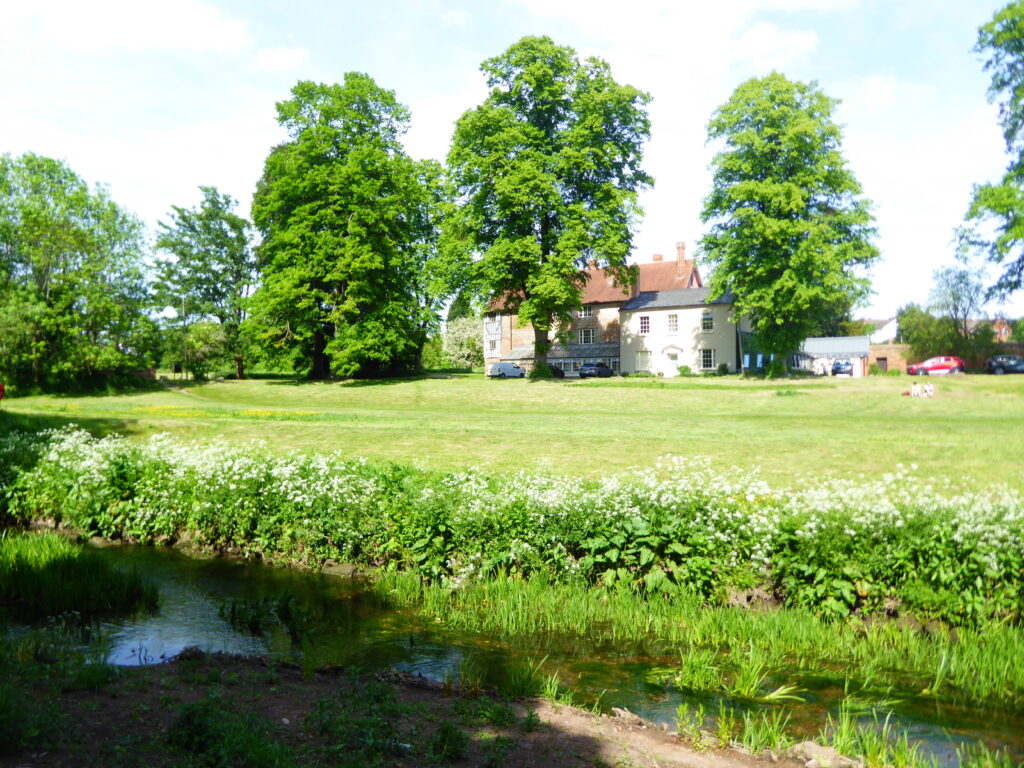
You wouldn’t know that you are in the middle of an urban area. It is quite believable to say that that this must be the wildest place in Coventry. Riverside, woodland, meadows and wetlands combine with an interesting history that is just waiting to be explored.
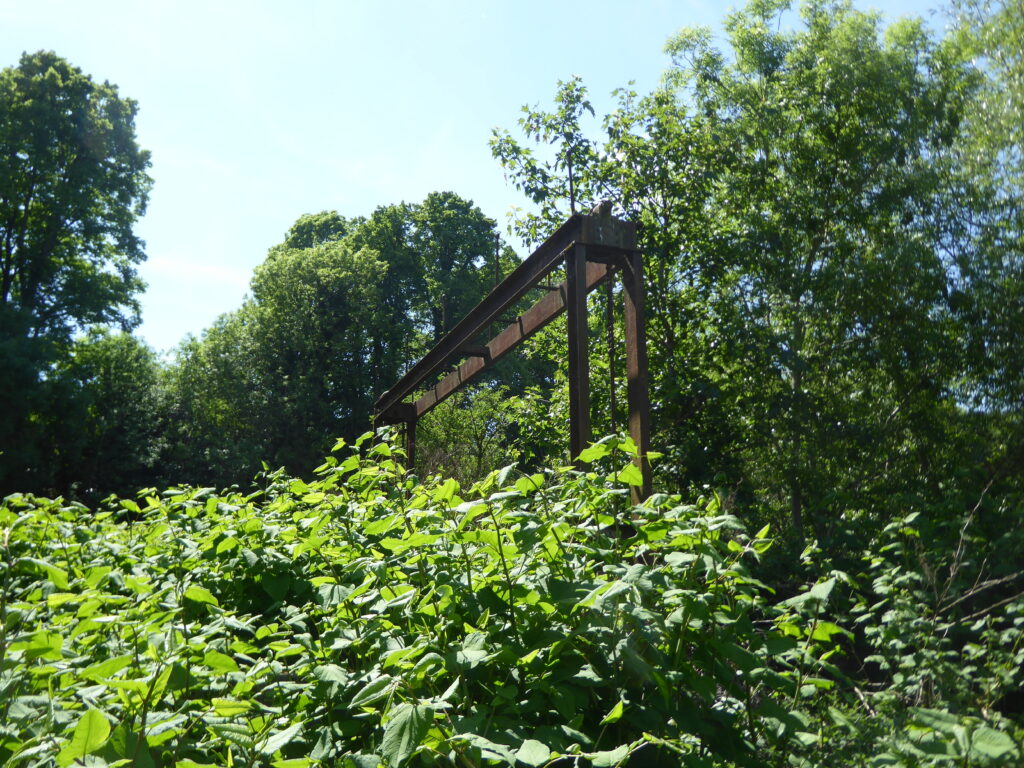
Amongst the fascinating history of the area, is the historic sewage works on the site now occupied by the London Road incinerator. We walked along an historic (and hopefully redundant) sewage pipes, which may be re-purposed as a high-level walkway, above the flooding level of the river.
Bluecoat school is said to be on board with the plans and some land swaps are planned. The school is exchanging an existing unenclosed playground near the river for part of a former allotments site, where a more secure play area can be constructed. The currently tarmacked area will be dug up and a wetland area created instead, with a boardwalk route through it.
The plans for the Heritage Park are to be the subject of a public consultation and engagement exercise, once they have been more fully developed and negotiated with stakeholders.
The timescale for the work, is to focus the next five years on work to the north of the viaduct and the second five years on opening up the land to the south. The plans will require additional funding.
Partners in the project include the National Trust, the John Muir Trust, Historic Coventry Trust, Warwickshire Wildlife Trust and the City Council.
